Raster maps
In the course of Pete Ryan’s geochemistry course, the class completed an experiment and analysis of enhanced rock weathering (ERW), an emerging method of carbon sequestration.
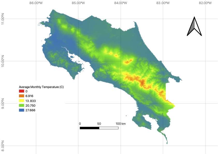
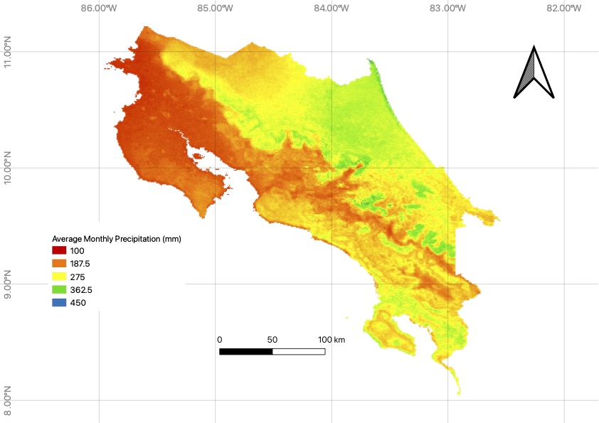
For GIS analysis, the yearly average for both temperature and precipiation were combined to produce a weathering coefficient raster for the country of Costa Rica, a prime candidate for ERW.

Raster representation of the average temperature in Costa Rica.

Raster representation of the average precipitation in Costa Rica.

Weathering coefficient determined by Prof. Ryan’s experience of weathering rates for different sections of the country. To produce this map, the yearly averages for precipitation and tennperature were normalized, then multiplied.